Montenegro Weather By Month
Montenegro packs a Mediterranean coast, a hot inland capital and a 1,456 metre mountain plateau into a country smaller than Wales, so the weather you get depends almost entirely on where you stand. These are the verified monthly numbers for the coast, the capital and the mountains, and what each month means for the tours you can actually book.
Short answer
The coast at Bar averages daily highs of 30.1C in July and 13.2C in January; Podgorica runs hotter still at 34.5C in August; Zabljak in the Durmitor mountains averages just 2.2C in January and 21.4C in July. Boat tours, rafting and mountain trips each follow a different weather window, and this guide maps all three.
Montenegro is one of the few countries where you can swim in warm sea water in the morning and stand in alpine cold the same afternoon. The coastline around Budva, Kotor and Bar is Mediterranean; Podgorica, an hour inland, is one of the hottest capitals in Europe in summer; and Zabljak, the base town for Durmitor National Park, sits at 1,456 metres with a genuinely continental climate. A single "Montenegro weather" number does not exist, and any guide that gives you one is averaging away the whole point. Sudden swings between beach heat and mountain cold also change how you should drive and what you should pack, so pair this forecast with our Montenegro safety guide for travellers before heading for the highlands.
This page uses the only three Montenegro locations with published 1991 to 2020 climate normals: Bar on the coast, Podgorica inland, and Zabljak in the mountains. Kotor itself has no published climate series, and this site does not print numbers that were never measured, so the coast column uses Bar, the nearest long-running station on the same shoreline. The article that answers the broader when-to-go question, best time to visit Montenegro, pairs well with this one.
Weather is not background information on a trip here. It is the schedule. Boat tours on the Bay of Kotor, including the flagship three-hour Blue Cave trip that this site features, are cancelled outright when the bura wind funnels down the bay. Tara rafting only runs while the snowmelt and autumn rains keep the river high enough. Durmitor's jeep tracks and Black Lake walks open late and close early. Read the numbers below with your tour list next to them.
What Kind Of Climate Does Montenegro Have?
Montenegro has three distinct climates in one small country: a Mediterranean coast with hot dry summers and mild wet winters, a hot continental interior around Podgorica with colder winters, and a mountain climate around Zabljak with real snow, freezing January nights and short summers. The differences are large enough to change what you can book on the same day. Bar averages 30.1C daily highs in July while Zabljak averages 21.4C, a gap of nearly nine degrees between places roughly two and a half hours apart by road. Those climate swings make your choice of base a real decision, and our guide to choosing the right base in Montenegro walks through it town by town.
The coast, measured at Bar, stays genuinely mild in winter: January's mean daily maximum is 13.2C and even December manages 14.4C, but that comes with the wettest rain-day counts of the year, 11.5 days with at least a millimetre of rain in December and 10.4 in November. Podgorica is sharper in both directions, 11.0C in January and 34.5C in August. Zabljak is the outlier: its January mean daily minimum falls to -7.4C, which is why the town functions as a ski base in winter and a hiking base for barely four months.
What this means practically is that "good weather months" is a question about which Montenegro. May on the coast is warm enough for a first swim; May in the mountains can still hold snow on the shaded trails. October in Kotor is often the most pleasant month of the year for a boat trip, while October in Zabljak already averages a 12.8C daily high and cold nights. Planning a week that mixes the bay with Durmitor means packing for two seasons, a point covered in detail in what to wear and bring on Montenegro tours.
Wind matters as much as temperature, especially on the water. The bura, a cold gusty northeasterly, and the scirocco, a steadier moist southeasterly, both affect the Bay of Kotor year-round and are strongest outside the summer months. Neither is a reason to avoid the bay; both are reasons to book boat tours with cancellation terms you have actually read.
Montenegro Weather By Month: The Verified Numbers
Bar averages daily highs from 13.2C in January to 30.4C in August, Podgorica from 11.0C to 34.5C, and Zabljak from 2.2C to 22.1C, with the coast recording its fewest rain days in July and August and its most in November, December and January. These figures are the 1991 to 2020 climate normals, the standard thirty-year averages meteorologists use, so they describe the typical month rather than any individual year. Treat them as a planning baseline, not a forecast.
The tables below give mean daily maximum temperature and the number of rain days with at least one millimetre, for each of the three stations. No rainfall totals in millimetres and no sea temperatures appear here, because no verified Montenegro series for those was available to this site.
The Coast: Bar
| Month | Mean Daily Maximum | Rain Days (1mm or more) |
|---|---|---|
| January | 13.2C | 9.6 |
| February | 13.7C | 9.8 |
| March | 15.9C | 9.0 |
| April | 19.0C | 9.1 |
| May | 23.6C | 6.9 |
| June | 27.6C | 4.4 |
| July | 30.1C | 2.8 |
| August | 30.4C | 3.2 |
| September | 27.0C | 6.4 |
| October | 23.0C | 9.2 |
| November | 18.6C | 10.4 |
| December | 14.4C | 11.5 |
The Capital: Podgorica
| Month | Mean Daily Maximum | Rain Days (1mm or more) |
|---|---|---|
| January | 11.0C | n/a |
| February | 12.6C | n/a |
| March | 16.3C | n/a |
| April | 20.7C | n/a |
| May | 25.8C | n/a |
| June | 30.7C | n/a |
| July | 33.9C | n/a |
| August | 34.5C | n/a |
| September | 28.4C | n/a |
| October | 22.8C | n/a |
| November | 16.5C | n/a |
| December | 11.8C | n/a |
The Mountains: Zabljak
| Month | Mean Daily Maximum | Rain Days (1mm or more) |
|---|---|---|
| January | 2.2C | n/a |
| February | 2.6C | n/a |
| March | 5.5C | n/a |
| April | 9.7C | n/a |
| May | 14.7C | n/a |
| June | 18.8C | n/a |
| July | 21.4C | n/a |
| August | 22.1C | n/a |
| September | 16.5C | n/a |
| October | 12.8C | n/a |
| November | 7.8C | n/a |
| December | 3.2C | n/a |
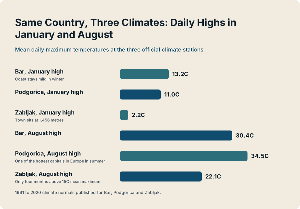
The shape of the curves tells the planning story. The coast's rain days halve between May and June and stay low through August, which is exactly why the bay's boat fleet runs its fullest schedules then. Zabljak's curve is compressed: the mountain town has only four months with a mean maximum above 15C, and its shoulder seasons arrive a month earlier and leave a month later than the coast's. Podgorica's summer heat, hot August afternoons well away from the coast, is a real consideration for anyone planning city sightseeing at midday.
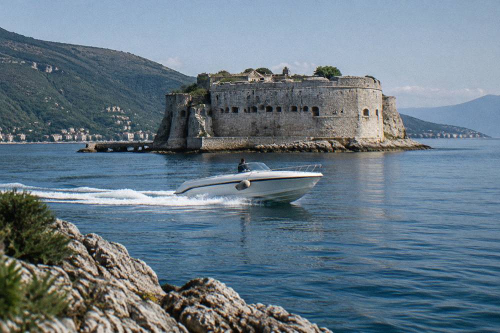
If a boat day is the centrepiece of your trip, the three tours below are the format leaders for the bay and the river: a three-hour Blue Cave speedboat trip, a near-identical swim-focused alternative, and a Durmitor rafting day that belongs to a completely different weather window.
Which Months Work For Boats, Rafting And Mountains?
Boat tours on the bay run their main season roughly May to October, Tara rafting runs May to October with the biggest water in May and June, and Durmitor mountain trips are realistic from June to September, so July and August are the only months when everything runs at once. That overlap is why summer feels crowded, and why September is the quiet favourite of returning visitors: the sea is still warm, the coast still averages a 27.0C daily high, and the crowds have thinned.
The seasonal logic differs by activity. Boats depend on sea state and wind rather than temperature, so a warm April day can still bring a cancelled departure if the bura is blowing, and operators hold trips rather than fight the swell. Rafting depends on water level: the Tara is fed by Durmitor snowmelt, and the commercial season opens once levels allow and closes in mid-October as they drop. Mountain trips depend on snow clearance: the Durmitor Ring road and the high viewpoints open as the drifts retreat.
| Month | Bay Boat Tours | Tara Rafting | Durmitor Mountain Days |
|---|---|---|---|
| January to March | Minimal schedules | Not running | Ski season, not hiking |
| April | Shoulder, wind risk | Late-month start possible | Low trails only |
| May | Main season begins | High water, wildest rides | Opening up |
| June | Full season | Strong levels, warming | Full opening |
| July | Full season | Lower, beginner-friendly water | Peak access |
| August | Full season | Lower, warm water | Peak access |
| September | Full season, fewer crowds | Levels rising with rains | Prime hiking month |
| October | Main season tail | Mid-month close | Shortening days |
| November to December | Weather-dependent | Not running | Snow returning |
The National Tourism Organisation's rafting page states the season runs April to October and is wildest in April and May during the snowmelt; the specifics of difficulty and water levels by month are covered in full in Tara River rafting season and difficulty, and official national park entry prices are published by the national parks authority. Note that April rafting and April boat trips are both real possibilities but both are conditional: check the listing for current dates rather than assuming a calendar.
For the bay itself, Blue Cave sea conditions and best time covers the swim-in rule that now applies to the cave: motorboats anchor outside and guests swim in, which makes calm water a genuine requirement for the highlight stop, not just a comfort factor. On a day with swell running, an operator may run the tour with the cave stop replaced or shortened, and that is a weather decision, not a service failure.
Rain Days, The Bura And Why Boat Trips Get Cancelled
The coast averages only 2.8 rain days in July but 11.5 in December, and independent of rain, the bura and scirocco winds can stop boat traffic in any month, with the bura strongest and most frequent outside summer, so cancellation risk is lowest from June through August. A rain day in the climate tables means at least one millimetre fell, not a washout; Mediterranean rain in the warm months often arrives as a short afternoon storm rather than all-day drizzle.
The bura is a katabatic wind: cold air spills down from the interior, funnels through the bay's straits and arrives as short, sharp gusts, often at night or in the early morning. The scirocco, locally the jugo, comes from the southeast, blows steadier, and brings swell and reduced visibility; it can persist for one to three days at a time. Both patterns recur year-round but bite hardest in spring and autumn. Montenegro's Institute of Hydrometeorology and Seismology issues wind warnings when gusts are forecast to exceed 11 m/s, and operators watch those bulletins.
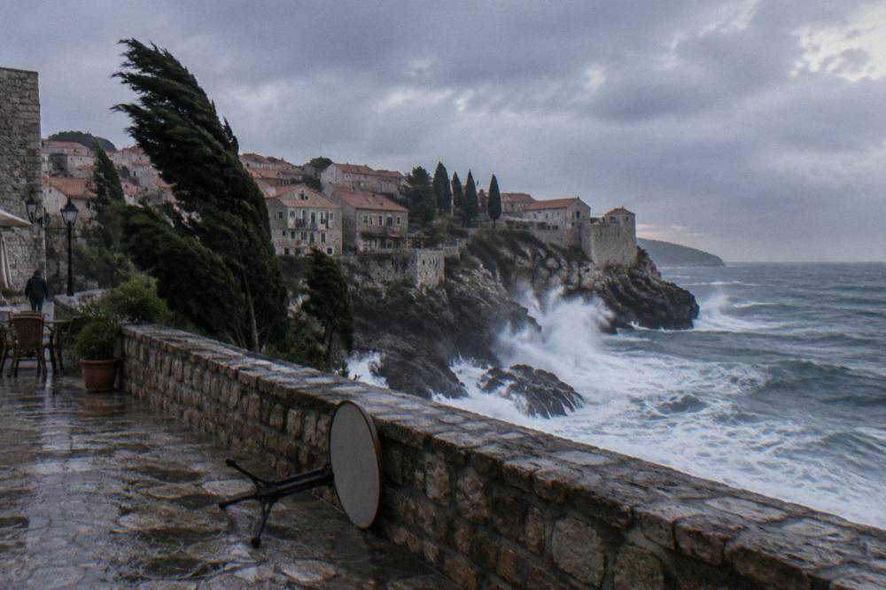
What this means for a booking is simple: read the cancellation terms before you pay. When a departure is cancelled for wind, reputable Kotor operators rebook you or refund you, and the listing states which applies. Do not treat a forecast of sunshine as a guarantee either; the bay's wind regime is local enough that a calm morning in Kotor can still mean swell at the Verige strait. If your whole trip hinges on one specific boat day, give yourself two possible mornings.
The swim-focused alternative in the comparison band above, the three-and-a-half-hour Blue Cave swim trip from $40 per person rated 4.7 across 4,903 reviews, runs under exactly the same wind logic. Buying either tour is buying a weather window, so anchor your dates to the calm months if the cave swim is the point of the trip.
The same honesty applies to wildlife and views. No listing sells a dolphin sighting or a guaranteed cave colour, and this site does not either; the Blue Cave's famous blue glow depends on sunlight angle and sea state. Cloud cover, swell and the time of day all change the experience, and the only controllable factors are month choice and departure time.
What Each Month Means For A Bay Boat Day
For a Bay of Kotor boat day, May through September is the reliable window. July and August bring the calmest conditions but also the biggest crowds, September offers the best balance of calm and crowd levels, and October can still work on calm days, with wind risk rising. Within any month, morning departures generally find flatter water than afternoon ones, which is one reason the standard departures cluster around 09:00, 12:00 and 15:00 on operator schedules.
Month by month, the pattern runs like this. April is a gamble: the coast averages a 19.0C daily high and 9.1 rain days, and boats run but with wind cancellations common. May turns the corner, 23.6C and 6.9 rain days, and the fleet is fully out. June, July and August are the calendar's core: 27.6C to 30.4C daily highs and rain days between 2.8 and 4.4. September keeps the 27.0C warmth with 6.4 rain days and noticeably thinner crowds. October holds a pleasant 23.0C but rain days climb back to 9.2, so booking flexibility matters. From November the boats mostly wait for spring.
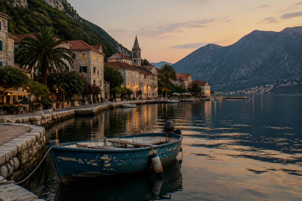
Peak season has a second weather dimension: heat and volume arrive together. Kotor's cruise summer is heavy, with 380 cruise calls scheduled at the port from May through the end of September, on 153 days only ten of which had no ship at all, and at least three ships simultaneously on 78 of those days. Two-thirds of those ships anchored in the bay. A hot, calm August afternoon and a full Old Town go together; if you want heat without the crush, early June or mid-September split the difference well.
For a longer, calmer day on the water, the four-hour Blue Cave and Perast trip, from $51 per person and rated 4.9 across 343 reviews, spends more time ashore in Perast, which spreads the day out and gives you shelter options if the wind picks up mid-trip. On a marginal-weather day, that format is more forgiving than a tight three-hour circuit.
What The Weather Means For Rafting And Mountain Trips
Tara rafting runs May to October with cold high water near 10 to 14C in May and warmer, gentler flows around 20C in July and August, while Durmitor's hiking and jeep season realistically spans June to September, because Zabljak averages below 10C daily highs from November to April. The two calendars overlap but do not match: May is prime rafting and marginal mountain weather, September is prime mountain weather and late-season rafting.
Water temperature drives the rafting experience more than air temperature. Spring trips run big Class III water in wetsuits; midsummer trips float warmer, slower sections that suit first-timers and families. The official national tourism rafting reference prices a one-day trip around 70 euros per person as a benchmark, and the listings on this site range from $56 to $277 per person depending on duration, inclusions and departure point, so treat the listing price as the real one. The three-hour rafting tour with park entry from $95 per person, rated 4.8 from 388 reviews, is the straightforward Zabljak-based option.
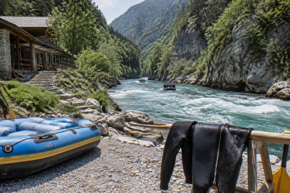
Mountain days follow the snow. Durmitor National Park charges EUR 5 per person per day entry, children under 15 free, with an annual all-parks pass at EUR 13.50, but paying the fee only matters when the trails are clear. Zabljak's November average daily maximum of 7.8C and its deep winter cold make the town a ski base from roughly mid-December to early April, and a hiker's town for the four months either side of August. The joint ecological clean-up that pulled about 150 scrap tyres from a 30 km stretch of the Tara riverbed in September 2026 is a sign of how the canyon's season and its stewardship now run together.
One planning rule ties the two together: never book rafting and a high mountain viewpoint for the same tightly scheduled day in May. The snowmelt that makes the river magnificent is the same snow keeping the high tracks closed. Split them across your week, river first once levels settle, summits once the drifts go.
Packing And Planning Around The Monthly Pattern
Pack for two seasons if you mix coast and mountains, plan boat mornings over boat afternoons in shoulder months, keep July and August itineraries slow and shaded, and treat September as the month that balances warmth, water and crowd levels better than any other. The single most useful packing decision is layers: a warm jacket for Zabljak evenings is necessary even in August, when the mountain town's daily maximum averages 22.1C but nights fall sharply.
The month-by-month packing logic falls out of the tables. From June to August on the coast you need swimwear, sun protection and very little else, but the same bag should carry a fleece for any Durmitor night. April, May and October are the changeover months: a rain layer for the coast's 6 to 9 rain days, and proper warm kit for anything above 1,000 metres. From November to March you are packing for a winter city break on the coast and a ski trip inland, and the two do not share a wardrobe. The full gear breakdown, including what a bura day feels like on a boat, is in the site's clothing and kit guide.
| Season | Coast Character | Mountain Character | Best Booked Now |
|---|---|---|---|
| Spring (Mar to May) | Warming, 9.0 or fewer rain days by May | Snow retreating, trails opening | Blue Cave swim trips, Lovcen day tours |
| Summer (Jun to Aug) | Hot, dry, 2.8 to 4.4 rain days | Peak access, cool nights | Everything, booked early |
| Autumn (Sep to Oct) | Warm sea, 6.4 rain days in September | Prime hiking, shortening days | Rafting, Black Lake, boat trips |
| Winter (Nov to Feb) | Mild, wettest months | Ski season at Kolasin and Zabljak | Old Town walks, museums, Ostrog |
Two more planning notes earn their place. First, the coast's rain-day figures describe days with measurable rain, not days lost to rain: a July storm can pass in an hour, while a November system may sit for two days, so weight the shoulder-month numbers by persistence, not just count. Second, Montenegro sits outside the EU roaming area and uses the euro, so a forecast app that works offline is worth setting up before you are standing on Kotor's dock deciding whether the wind is falling or building.
A calmer-water alternative worth holding in mind for windier shoulder weeks is the two-hour Lake Skadar wooden boat trip from Virpazar, from $25 per person and rated 4.8 across 1,887 reviews: an inland lake, no straits, no swell, and the same mountain scenery ethos. It is the bay tour's bad-weather cousin, and locals use it exactly that way.
How To Read The Forecast Once You Are There
Once you arrive, rely on the national hydrometeorological service for accurate wind warnings, anticipate that coastal forecasts may miss Zabljak's conditions by ten degrees or more, and always prioritize a local operator's same-morning decision over any app when a boat trip is at stake. The institute's warnings trigger at gusts above 11 m/s, which is roughly the threshold where bay boat itineraries start changing, so a warning and a cancellation notice usually arrive together.
The practical routine on a trip is short. The evening before a booked boat day, check the wind forecast for the Verige strait area, not just Kotor town. On the morning, confirm with the operator, since they read the actual sea state at 08:00 better than any model. If a cancellation lands, pivot rather than push: Perast, the Lady of the Rocks church by land taxi, Kotor's Old Town lanes and the walls walk in calm-weather windows are all shore-based, and the national tourism organisation's rafting page is the official reference if you are re-planning toward the river instead.
Finally, keep the country's shape in mind when you stare at a single forecast icon. A rainy Tuesday in Kotor is regularly a bright Tuesday in Zabljak, and the reverse. Montenegro's weather is not one system but three stacked side by side, and the travellers who enjoy it most are the ones who treat that as the itinerary's raw material rather than an inconvenience. This Montenegro Tours guide is one of a planning set; pair it with the month-by-month activity windows above and your dates will mostly choose themselves.
Common Questions About Weather In Montenegro By Month
What is the hottest month in Montenegro?
August on the coast, when Bar averages a 30.4C daily maximum, and August in Podgorica, which averages 34.5C and is typically the hottest month anywhere in the country. July runs a close second everywhere. The mountains stay moderate throughout: Zabljak averages 22.1C in August.
What is the coldest month in Montenegro?
January. Bar averages a 13.2C daily maximum, Podgorica 11.0C, and Zabljak 2.2C with a mean daily minimum of -7.4C. The coast stays mild enough for sightseeing; the mountains are in full ski season.
When is the rainy season on the Montenegro coast?
November through January. Bar records 10.4 rain days in November, 11.5 in December and 9.6 in January, against just 2.8 in July. Rain in summer usually arrives as short storms rather than sustained rain.
Does Montenegro weather decide which tours run?
Yes, directly. Bay boat tours depend on wind and sea state and are cancelled when the bura or scirocco blows, Tara rafting runs only while water levels allow, roughly May to October, and Durmitor's mountain trips follow snow clearance from roughly June to September.
Is September a good weather month?
For most travellers, it is the best balance. The coast still averages a 27.0C daily high with 6.4 rain days, the sea is warm after summer, the mountains are in prime hiking condition, and crowd levels fall sharply after August.
Is there a big temperature difference between the coast and the mountains?
Yes, around ten degrees in most months. Bar averages 30.1C in July while Zabljak averages 21.4C, and in January the gap runs from 13.2C on the coast to 2.2C in the mountains. Pack layers if your trip mixes both.